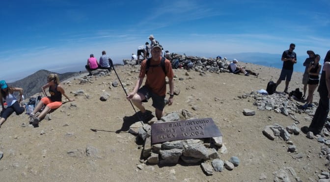
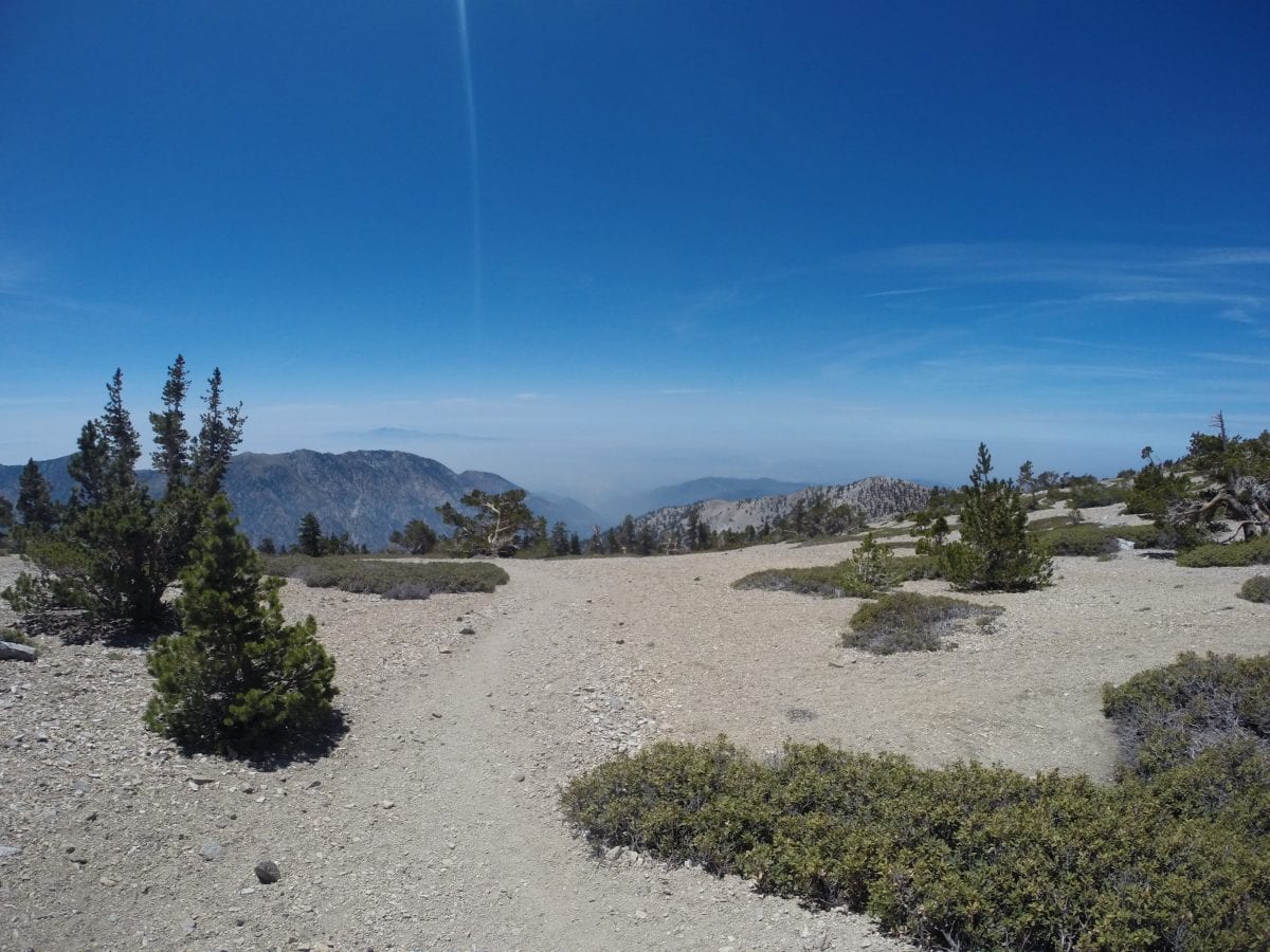
On Saturday May 17th, 2014, I took a hike to the top of Mount Baldy. This trip took about 5 and half hours to get to an elevation of 10,064 feet. Here is a picture of me with the high desert, including Victorville, CA in the background. I wanted to get up early so I could come out of the wilderness before noon, but I did not get to the mountain until about 9:30am, which put me back home after 3pm. The name of the mountain is actually San Antonio, but is called Mount Baldy because of the barren top of the mountain. 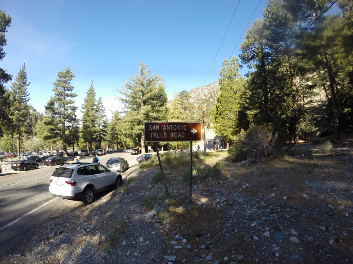 The hike was a total of 8.64 miles round trip with a total elevation gain of 3835 feet.
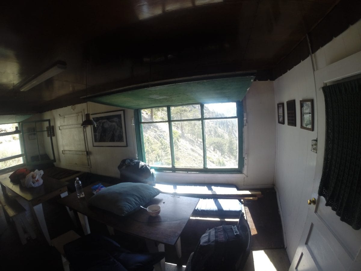
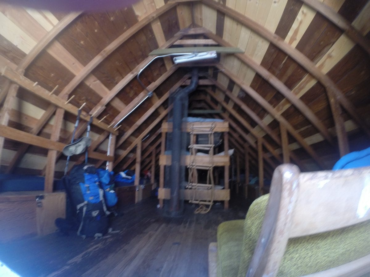
 Since it was the weekend, there were 100’s of people on the trail, represented by the many cars in the parking area along the road. However, as I walked the trail I tried to position myself between groups so as not to have to hear or see them along the way. Halfway to the top of the mountain, there is a ski hut that is used during both the winter and summer for those who might want to spend the night. When I arrived there was a group of scouts using the cabin, and they let me look around inside.
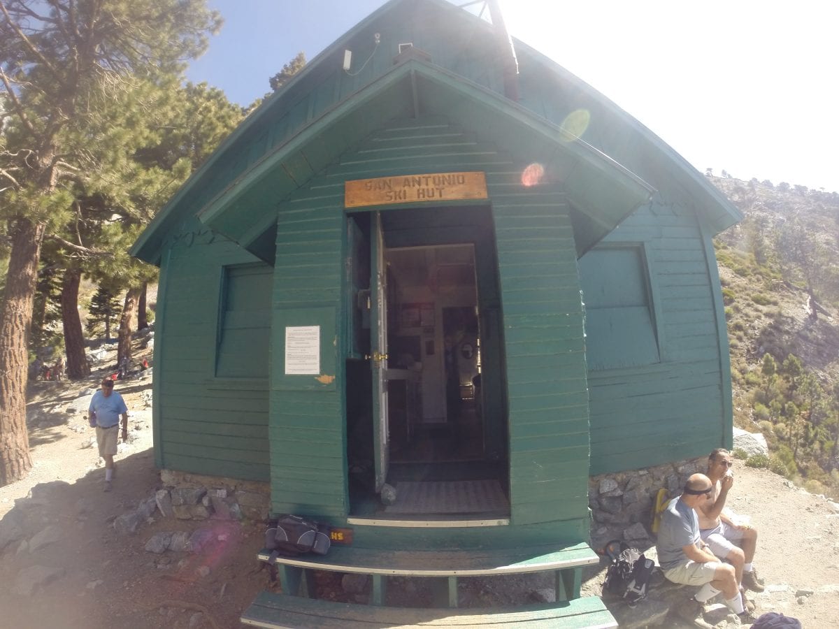

 There were so many groups of folks hiking, college kids, families, young and very old hikers. I said hi to everyone I passed, but I stopped to visit for a moment with a man I believed to be 85 who was taking his time to get to the top. I also talked to a man named Craig who was planning to hike the entire John Muir trip starting in July. There was also a few folks in great shape that were running up and down from the mountain.
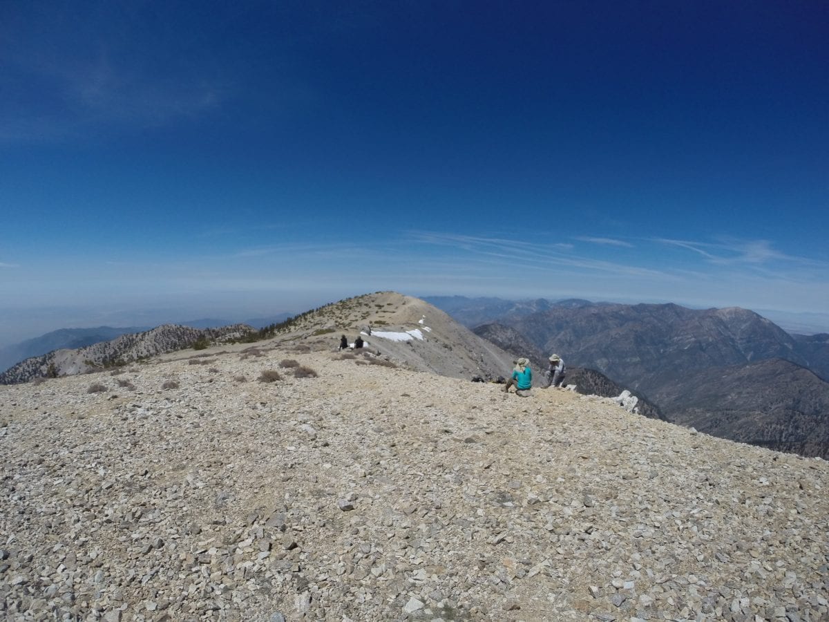
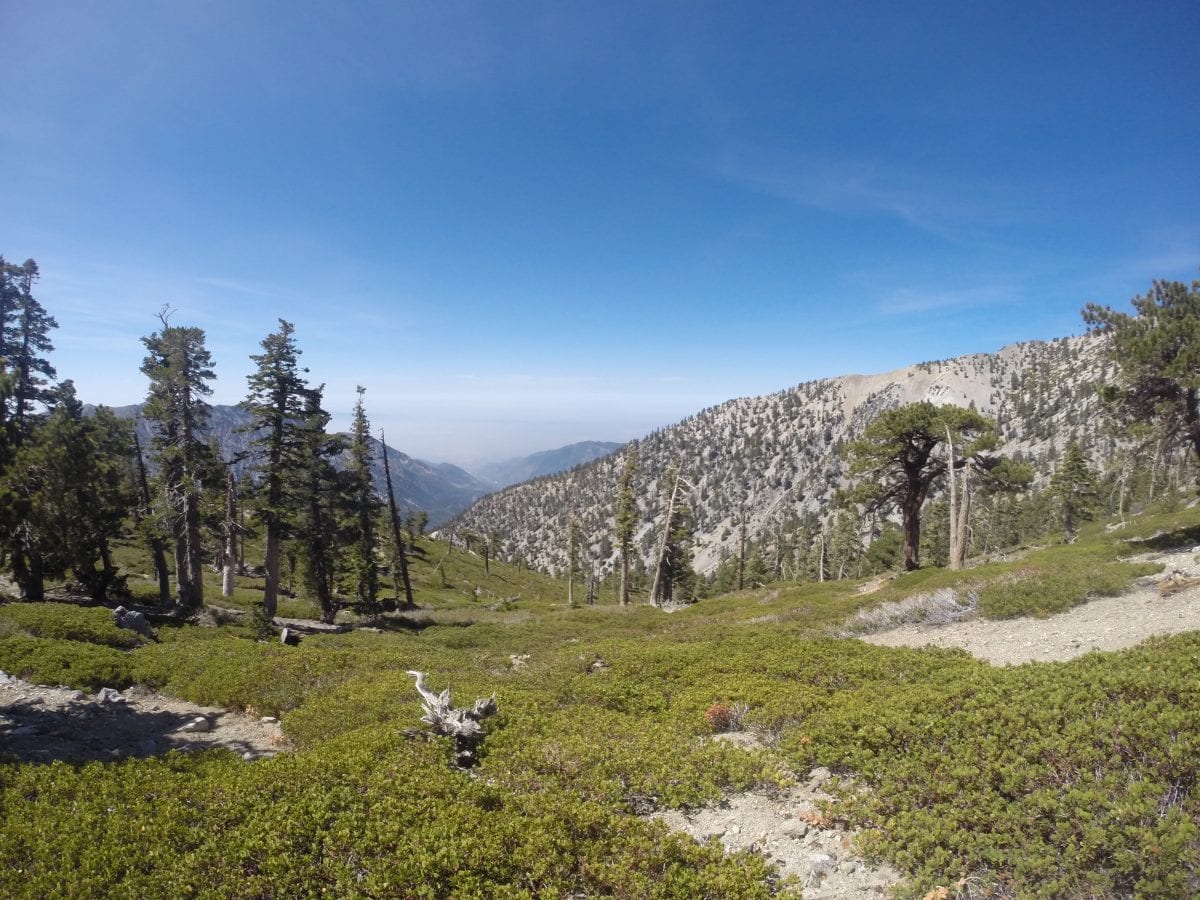
 The trail was well marked in some places but in other places where it was difficult to climb, the trail broke off in a number of different trails, all coming back to the main trail. This trail happened to be the shortest way to the top, but was probably more difficult since the elevation gain was much quicker then the longer trails.
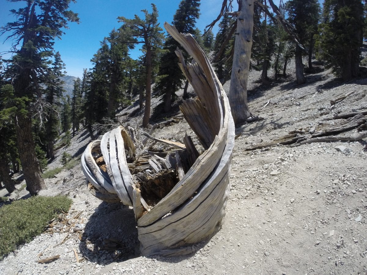
 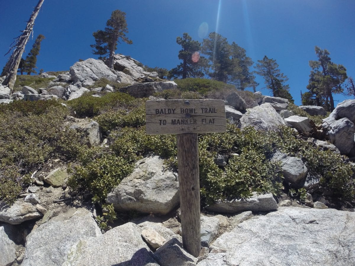 Along the way I saw many streams, rock formations and vegetation, including this tree I happened to see on the way up and had to take a few pictures on my way down the mountain as I admired how it was bent around itself.
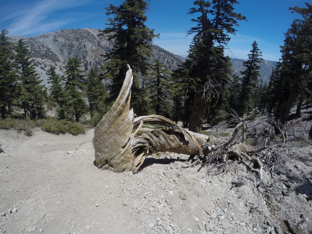

 Here is a picture of one of the many lizards who was sunning himself as I passed.
 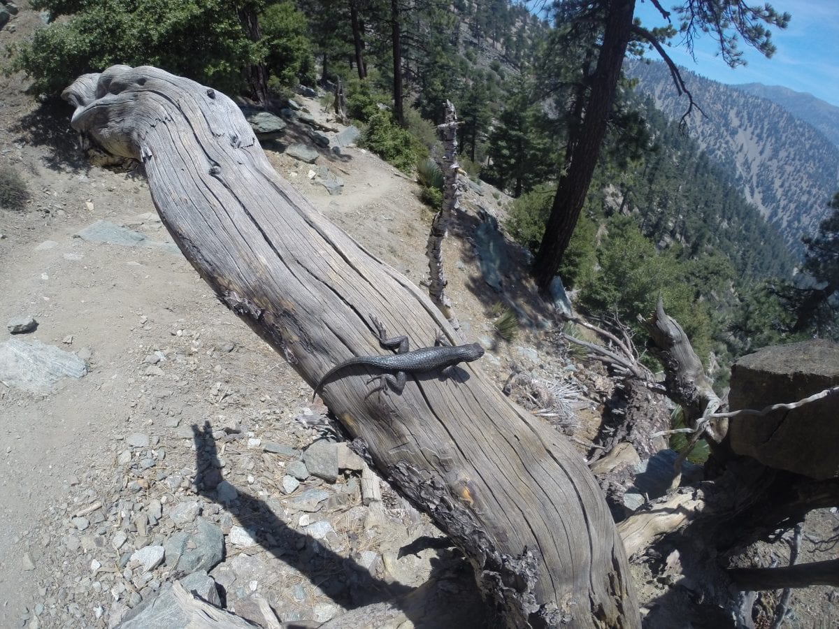 Next time I need to take more food. I had plenty of water, but only took a couple of granola bars. However, I really enjoyed sitting down to take a break with my granola bar lunch looking out over the valley.
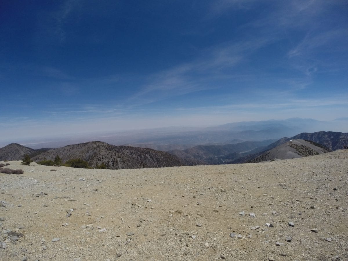
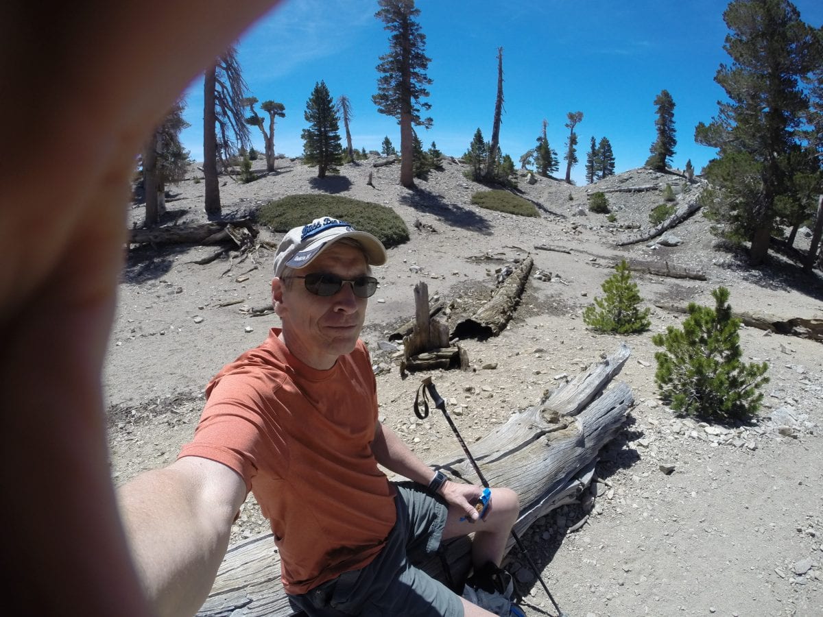 Video of the high desert. I look forward to a perfectly clear day that I can go back up and see the view all the way to the beach.